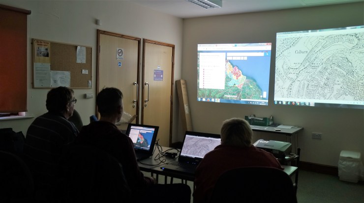
Group Members have completed creating a Google Map of the seven parishes in the Mulgrave Ward, marking over 1,700 items of interest from mid 19th to mid 20th Century maps.
You are able to view the map using the link on HOME page (in red)
Parish History – Aislaby, Hinderwell, Lythe, Mickleby, Newholm, Roxby, Ugthorpe
Group Members have completed creating a Google Map of the seven parishes in the Mulgrave Ward, marking over 1,700 items of interest from mid 19th to mid 20th Century maps.
You are able to view the map using the link on HOME page (in red)
